Stringer Topo transforms your current CAD platform into a low-cost, full-featured survey package.
Stringer Topo streamlines the reduction and presentation of survey observations whether you are using AutoCAD, Civil 3D or BricsCAD.
Developed by surveyors with over 20 years experience in the industry, Stringer Topo focuses on maximizing your efficiency in adding and editing break lines, automating linework creation, adding and editing point data, creating surfaces, legends and tables.
Whether you are doing boundary surveys, pre-design site surveys, as built surveys, monthly stock pile volume calculations or even basic design for access roads and ponds Stringer Topo has proven tools optimized for your needs.
Are your surveyors using Civil 3D with its high annual subscriptions? Stringer Topo provides you with options:
- Stringer Topo works directly on top of Civil 3D and makes it better
- It also works with BricsCAD and AutoCAD giving you licensing options putting you in control – perpetual, network and subscription licenses are available.
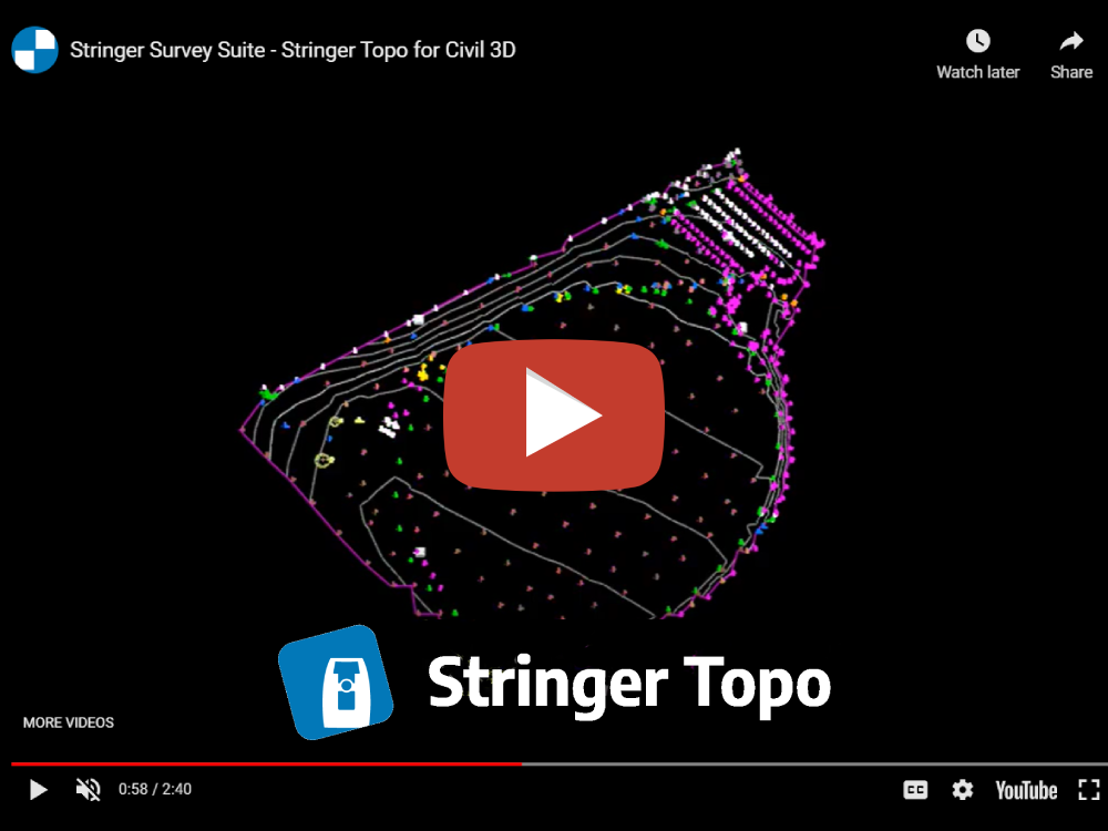
Watch this 4 minute overview video to learn why Stringer Topo is for you.
Stringer Topo Key Features
Stringer Topo delivers fast, easy to use survey tools for processing survey data ready for final documentation and plotting. Associated functionality includes survey quality (comparison) reporting, point export, direct import of reduced point files, traverse editing and drafting tools for cadastral plans.

Planning a New Field Survey
A unique feature of Stringer Topo is its Satellite to Surface feature which allows you to download Google and Bing images for your area of interest.
It will also download and create a surface from Google elevation data. This is an ideal tool for planning your field survey.
Customize Your Field Codes
Stringer Topo allows you to create and customize your field codes. It supports both alpha and numeric codes.
Codes control the block assigned to each shot and the layers for the block and associated line work.


Use Templates to Reduce Field Effort
A unique feature of Stringer Topo is the ability to assign a template to a field code. Using templates, surveyors can capture the edge of pavement.
The software will capture the invert, top and back of curb. It will also create the associated all of the associated line work.
Preview and Edit Raw Survey Data
A unique feature of Stringer Topo is it’s 2D viewer that allows you to visualize the survey including all setup’s and side shots. You can even play the survey shot by shot if you like, zoom to specific points and edit the data directly.
You can also review and make edits directly in the raw data file.


Automated Breaklines and Line Work
Breakline management is configured in your point code settings. When a code is defined as a breakline, all linework associated with these codes are automatically created as breaklines on a user defined layer.
If sequence codes are entered in the field the entire process is completely automated.
Use AI to Sequence Point Numbers
Rather than manually connecting the dots, the AI engine will do this for you based on codes, point numbers and distance between shots.


Manage Linework with Innovative Interface
Visualize with 3D Model Viewer
The Model Viewer component in Stringer Topo allows you to visualize your survey in 3D. You can quickly identify elevation errors, access the point and make adjustments.


Automatically Generate Legends and Reports
Learn & Support
Whether you need expert technical support, custom training for your team or prefer self-directed eLearning – we’ve got it all.
Discover how Stringer Topo can maximize your efficiency
and produce better results in less time.