Artificial Intelligence – AI for Subdivision Design
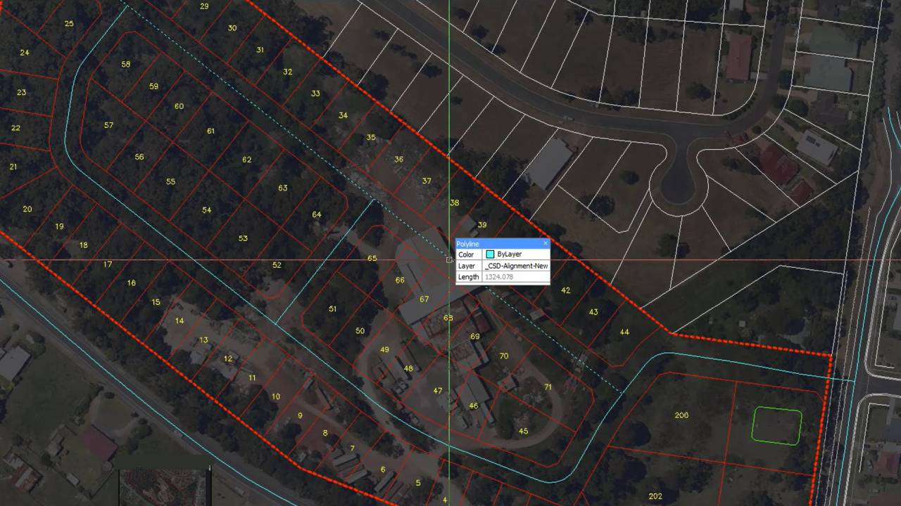
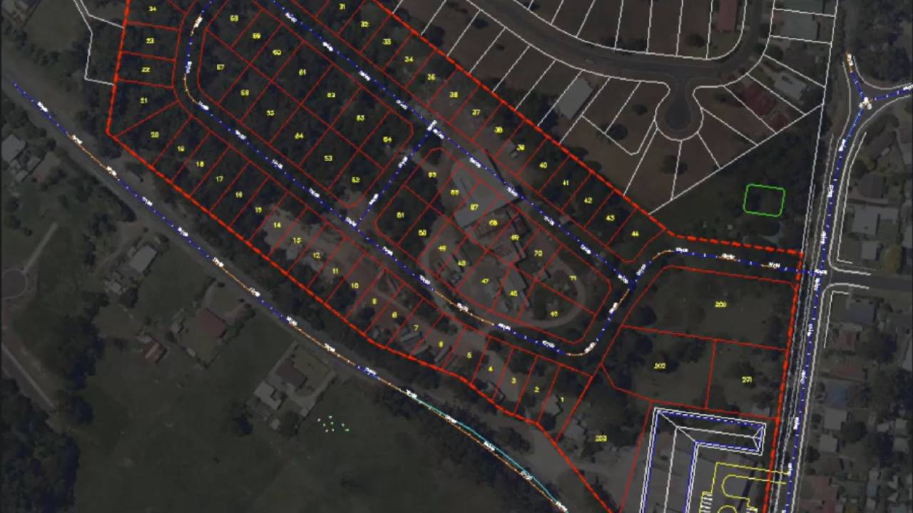
Civil Survey Applications2024-01-08T11:26:21-05:00AI for subdivision design reduces the time taken to layout a subdivision road network from hours or days to just minutes. This feature deduces your design intent based on how you name your alignments and learns as you make corrections.