4K Upscaling | All Applications V24.10
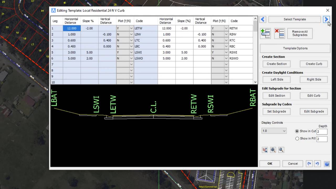
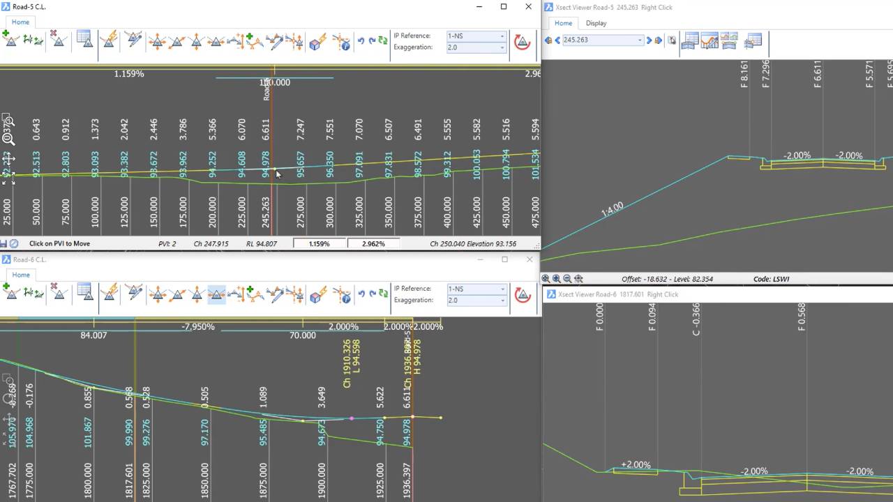
Civil Survey Applications2024-01-14T10:50:53-05:00With many users now transitioning over to devices which support 4K display, our development team have successfully updated Civil Site Design, Stringer Topo & Corridor EZ V24.10 forms to accomodate 4K . . .